Region 4 is made up of 12.5 counties in north central Montana with a combined area of 30,677 sq. miles, 19.5 millions acres (about 20.8% of Montana). The Region has a population of about 180,000 people. According to the current highway map there are 94 communities in Region 4 - 26 are incorporated. Close to 50% of the people in Region 4 live in Cascade County. About 8,460 sq. miles or 27.6% of Region 4 is public domain managed by the federal government - 44% by the US Forest Service, 23% by the Bureau of Indian Affairs/Blackfeet Nation and 17% by the Bureau of Land Management. In Region 4 there are 2, 044 sq. miles of School Trust Land (6.7% of Region 4) managed by the Montana Department of Natural Resources and Conservation.
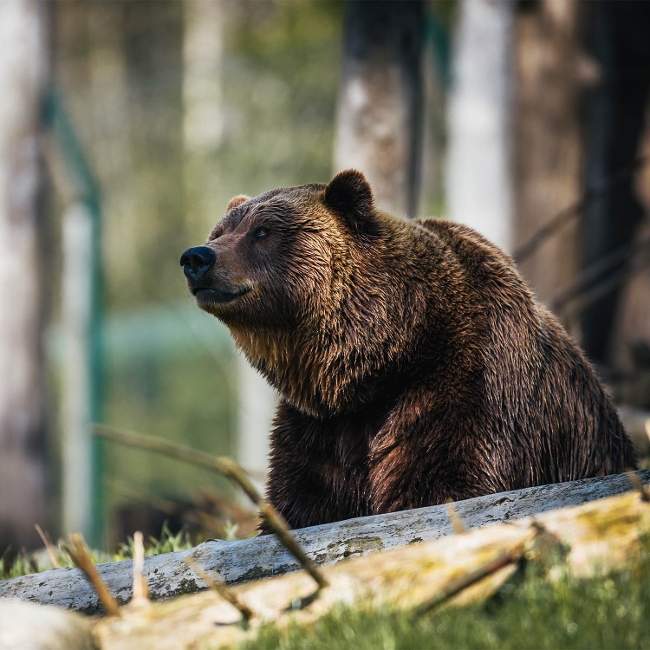
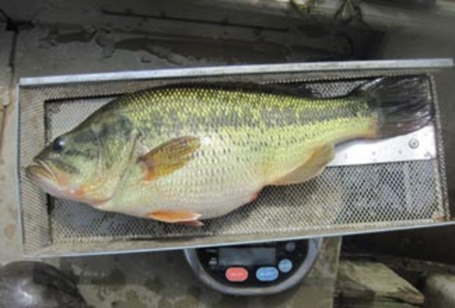
This region offers the most diverse flora and fauna in Montana - 64 of Montana's 89 fish species; 75 of Montana's 109 mammals; 338 of the state's 389 birds; and 7 of the 14 plants and animals listed as "Threatened" or "Endangered". The region is currently managing populations of all ten of the state's common big game animals.
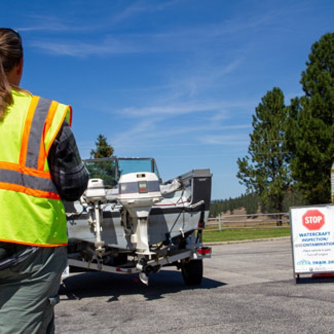
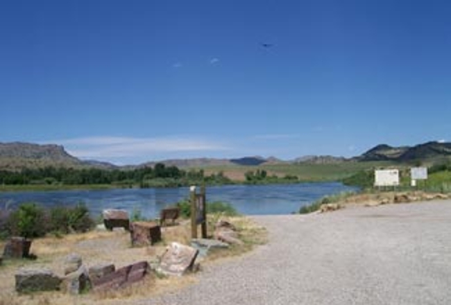
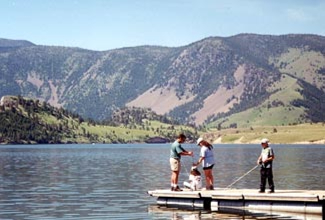
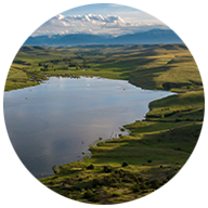
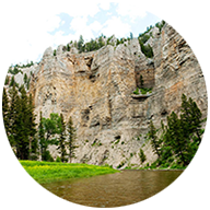
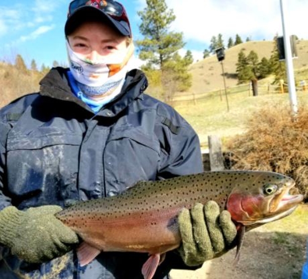
Region 4 has 63 Fishing Access Sites, 133 lakes and reservoirs totaling over 61,000 acres; 3,700 miles of fishable running water; 2 managed recreation corridors - the Smith & Missouri Rivers; and 17 reservoirs with over 5,000 acre-feet of storage capacity.
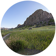
Region 4 has 8 Wildlife Management Areas with a total of 94,238 acres. The Region contains the "Rocky Mountain East Front" one of the richest wildlife areas in the U.S. Region 4 monitors four Conservation Easements: Bay Ranch, Paul & Helen Edwards, Harris Land & Cattle, and the Lewis & Clark Heritage Greenway.
In 2004, Region 4 had 116 Block Management Areas (199 contracts) with 984,977 private acres and 441,456 public acres. 1,426,433 acres in Block Management supported 62,730 hunters (about 91,000 hunter days).
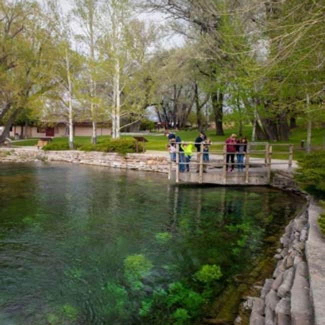
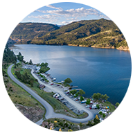
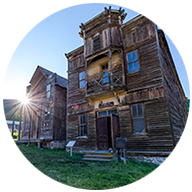
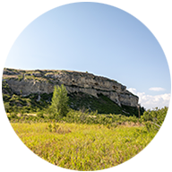
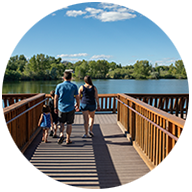
The Region 4 Parks Division operates 5 State Parks: Ackley Lake, First Peoples Buffalo Jump, Giant Springs/Heritage - with Sulphur Springs addition, Sluice Boxes, and Tower Rock. Region 4 also runs the 61 miles Smith River Float Program and the Missouri Corridor Recreation Program.