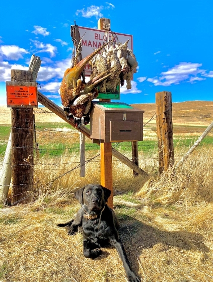
Share your photos
FWP is looking for block management photos from your hunting trips around the state.
We're updating our regional block management webpages, and your image could be featured!

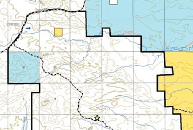
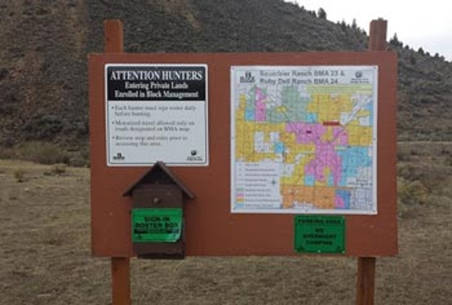
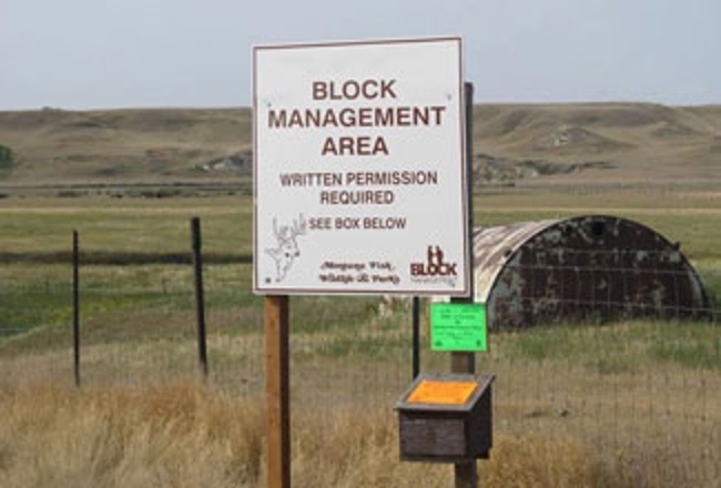
2026 BMA properties are currently being enrolled. The new Access Guide will be available mid-August.
Order 2026 GuideFWP is looking for block management photos from your hunting trips around the state.
We're updating our regional block management webpages, and your image could be featured!