TroutCast
Protecting cold-water trout fisheries in the Northern Rockies
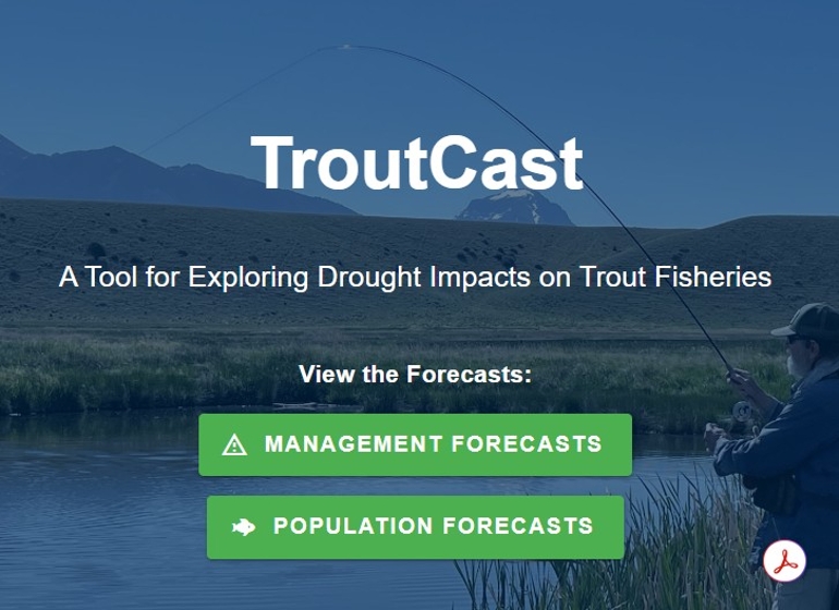
TroutCast is an interactive tool that helps users explore the projected impacts of drought on valuable trout fisheries in the northern Rocky Mountains. As droughts become more frequent and severe, reduced streamflows and rising water temperatures threaten cold-water trout species – impacting populations, fishing opportunities, and local economies.
TroutCast provides insights into how these changes are affecting Montana's renowned blue-ribbon trout fisheries, supporting proactive management and sustainable recreational fishing for anglers today and generations to come.